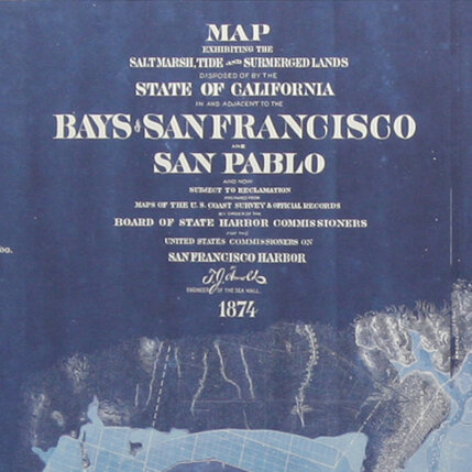
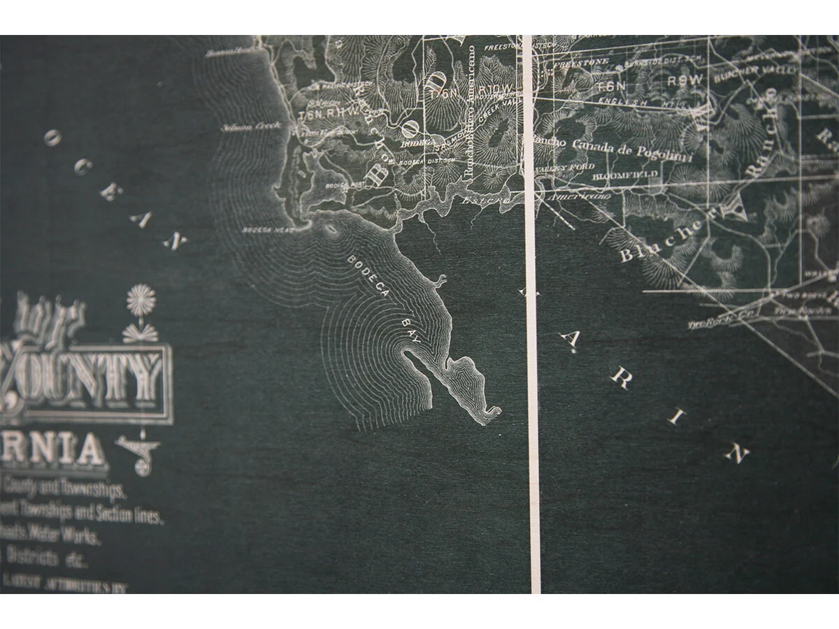
San Francisco Harbour Triptych, 1856


San Francisco Harbour Triptych, 1856
$1,850.00
This is a large format British Admiralty chart of the West Coast. Showing San Francisco Bay, extending to Drake Bay, Vallejo, Petaluma Creek, and Oakland, as surveyed by James Alden of the US Coast Survey and the British shortly after the discovery of gold in California. Note the inland detail with identifying roads, landings, buildings, street grid in major cities and topographic features. Depth shown by soundings in fathoms.
Archival Pigment Print on Metal
36"w x 72"h each
Hanging hardware included.
SHIPPING NOT INCLUDED, PLEASE CONTACT FOR A QUOTE
Quantity: