Oakland, 1899


Oakland, 1899
$595.00
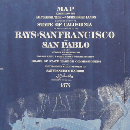
This map is a redesigned reproduction of William J. Dingee's Map of Oakland and the Vicinity. It was compiled from official surveys and records by T.W. Morgan Real Estate Development from maps of Oakland, Alameda, Berkeley, Fruitvale and Piedmont.
Archival Pigment Print on Gold-Leafed Maple
33"w X 33"h
Hanging hardware included.
Quantity:
Add To Cart


